Most popular hikes in the Dolomites: Tre Cime di Lavaredo
The Cime di Lavaredo Hike is the most famous hikes to do in the dolomites. It offers a breathtaking view over the surrounding mountain ranges, the dark-green valleys below and of course: the famous “Tre Cime” themselves. The three vertical and chimney-like peaks are one of a kind and the symbol of the dolomites.
Read below everything you need to know about the Tre Cime di Lavaredo hike and get inspired to grab your own hiking boots!
This blog article will help you with planning your visit at the Tre Cime di Lavaredo and provide detailed information about the hike. Furthermore, you will find suggestions for further stops close by.
About this hike
Suggested for: moderate trail, basic endurance is needed
Start Point: Parking lot at Refugio Auronzo
End Point: Parking lot at Refugio Auronzo
Altitude Difference: 450 meters up, 450 meters down
Distance: 11km
Duration: 5 hours
How to reach the Refugio Auronzo – The starting point of the Tre Cime di Lavaredo hike
First and most important advice, when visiting the Tre Cime di Lavaredo: be there on time! What actually means: be there as early as possible.
Hike – You hike up to the Refugio Auronzo, starting at Lago di Misurina or Largo d’Antorno. The hike is about 8 km long and you will have to overcome about 500 m difference in altitude. But keep in mind, that the Tre Cime di lavaredo hike itself will add up to this.
By Car – If you do not want to hike up all the way to the famous mountainside, there is only one way to get up there: the toll road from Misurina up to the Refugio Auronzo. The entrance to the toll road is limited due limited parking lots at the Refugio Auronzo. As it is allowed to stay overnight at the parking lot, capacities might already be reduced due to the ones, which are already up there. As soon as the maximum capacities of the parking lot are reached, the road gets closed and you have to line up with your car. Authorities will only let you pass when another car comes down from the parking lot.
The toll fee is 30€ per car (September 2020).
By Bus – You can avoid lining up with your car by taking the shuttle bus. In summertime, it runs from Toblach/Dobbiaco to the Auronzo hut on a regular basis. You can park your car at one of the parking lots along the Strada Rifugio Auronzo and take the shuttle bus.
Tickets can either be purchased online in advance or directly at the Toblach train and bus station. As this differs based on the season, I would recommend to inform yourself in advance (e.g. via: kronplatz.com). Prices are around 4€ per person.
Best time to hike the Tre Cime di Lavaredo
Second advice: Save this hike for days with good weather conditions. You won’t regret it: The views are better with good weather and you do not want the Tre Cime to be covered up in clouds.
In general, the hike can be done all year around.
In winter you need to consider different things: the shuttle bus is not running and the road up to the Auronzo hut is closed, which means that you will have to hike your way up to the Auronzo hut. The huts along the hike are closed for the season, which means, you will not be able to stay overnight or to get any food or beverages.
I recommend this hike in summertime or autumn (June till September) and to make use of the shuttle bus. This will leave you more energy to do the actual hike to enjoy the stunning landscapes.
The Tre Cime di Lavaredo circuit is a moderate trail with some ups and downs. You will pass by different huts, where you can find food and drinks and even possibilities to spend the night at this magical place.
The starting point – the Refugio Auronzo – is located at a height of 2320m and the main starting point for the Tre Cime di Lavaredo circuit. As soon as you arrive at the Auronzo Hut you will be overwhelmed by the panorama as the dolomites show their most beautiful appearance up here. But do not get swept away by the beauty – yet – as you need to continue hiking in order to finally see the famous three mountain peaks.
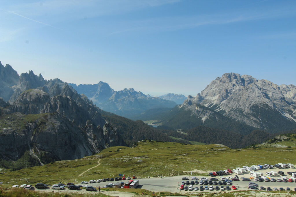
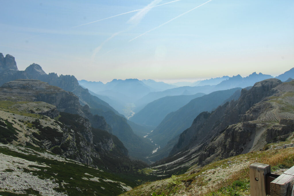
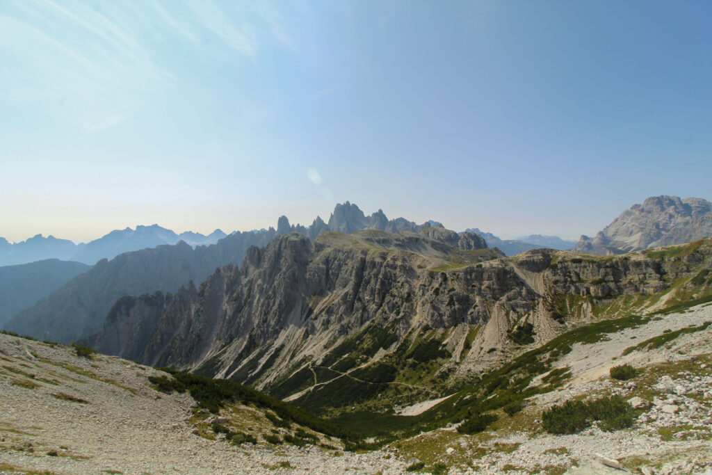
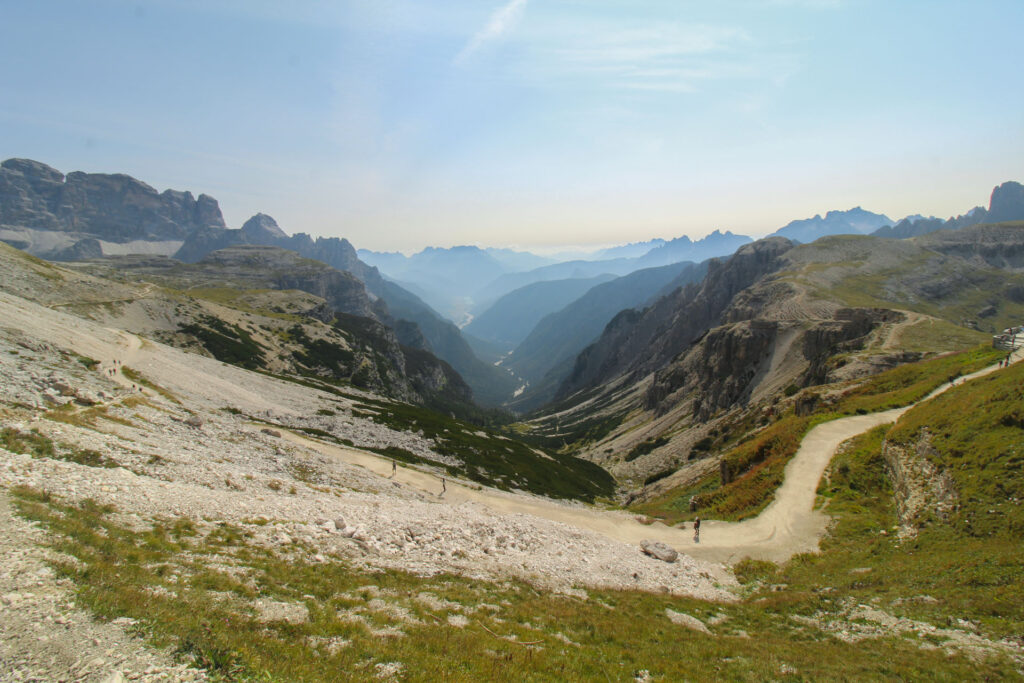
Park your car or exit the bus at the Refugio Auronzo. From here you can start the circular trail either clockwise or counterclockwise. We hiked it counterclockwise.
You start your hike at the parking lot a hike along the south side of the Tre Cime peaks. After about 1 km you will find yourself at a small crossing – you can either head straight to a view point (third photo below) or keep left in order to continue the trail uphill (fourth photo below).
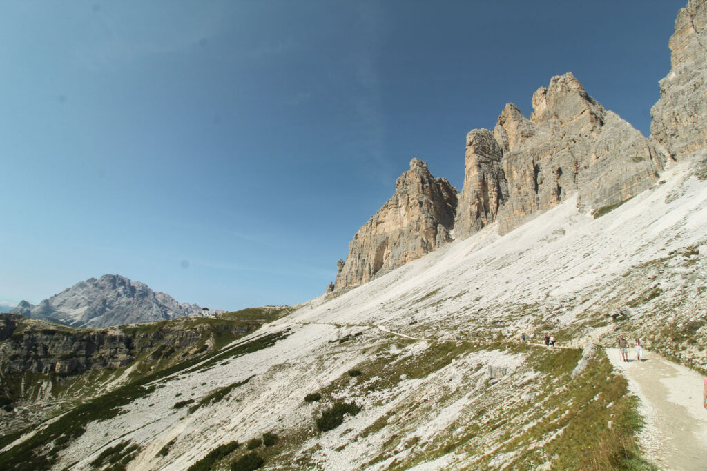
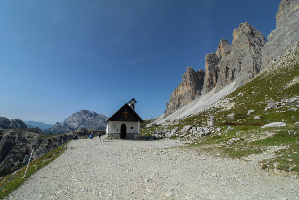
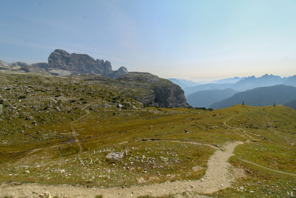
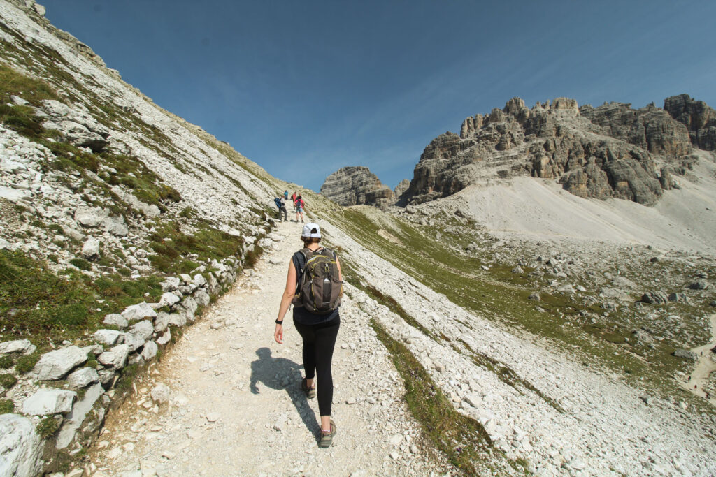
As soon as you arrive on the top of this small elevation, you will first see the impressive north side of the famous peaks.
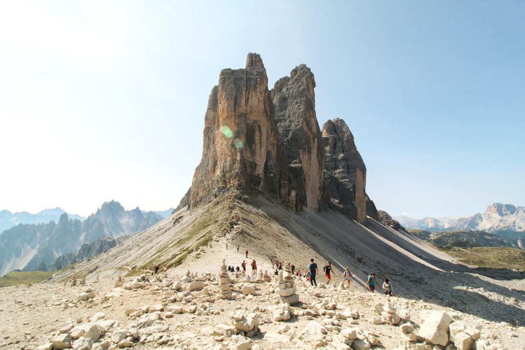
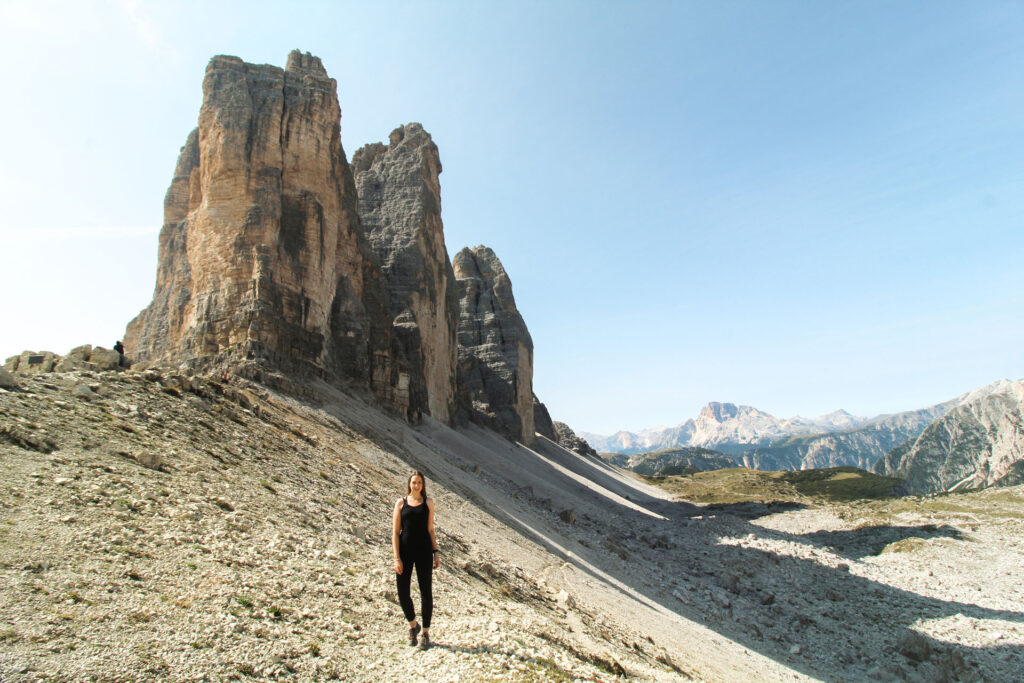
But the views will get even better, as soon as you get closer to the Rifugio Antonio Locatelli (or also known as: Dreizinnenhütte).
In the distance you can already see the first hut – the Rifugio Lavaredo. The trail splits and you can either take the longer, but less steep trail on the right or continue uphill on the left side. Both ways will lead you to the east flanks of the Tre Cime, which you will reach after one additional km of hiking. We hiked the upper trail – which we would only recommend, if you are a little bit advanced in hiking and sure-footed. The trail below can be easily hiked and is more as of a nice stroll.
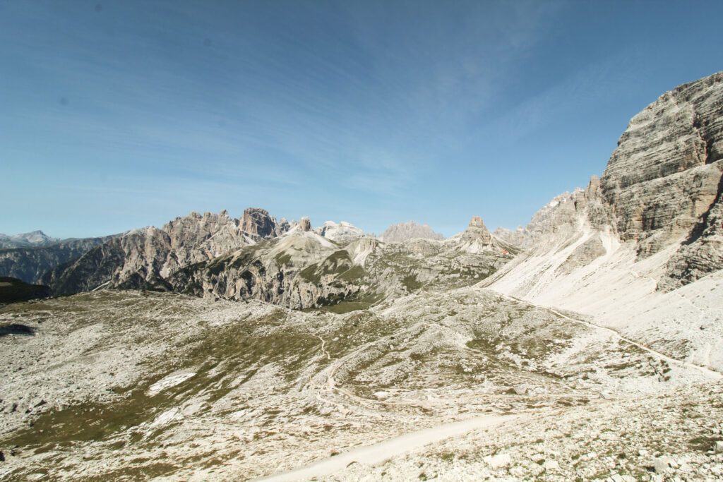
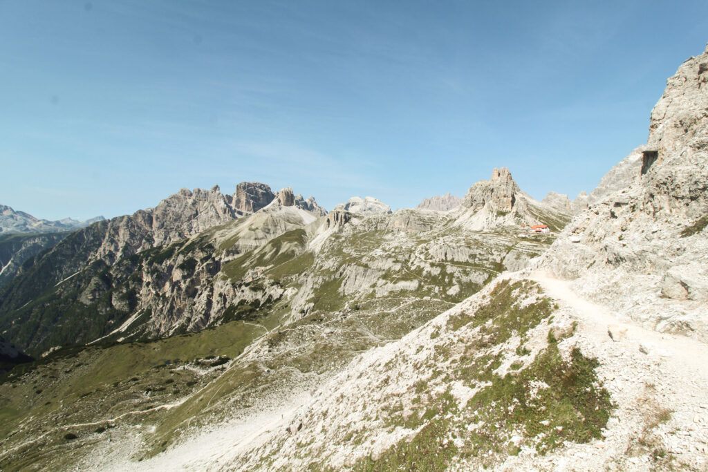
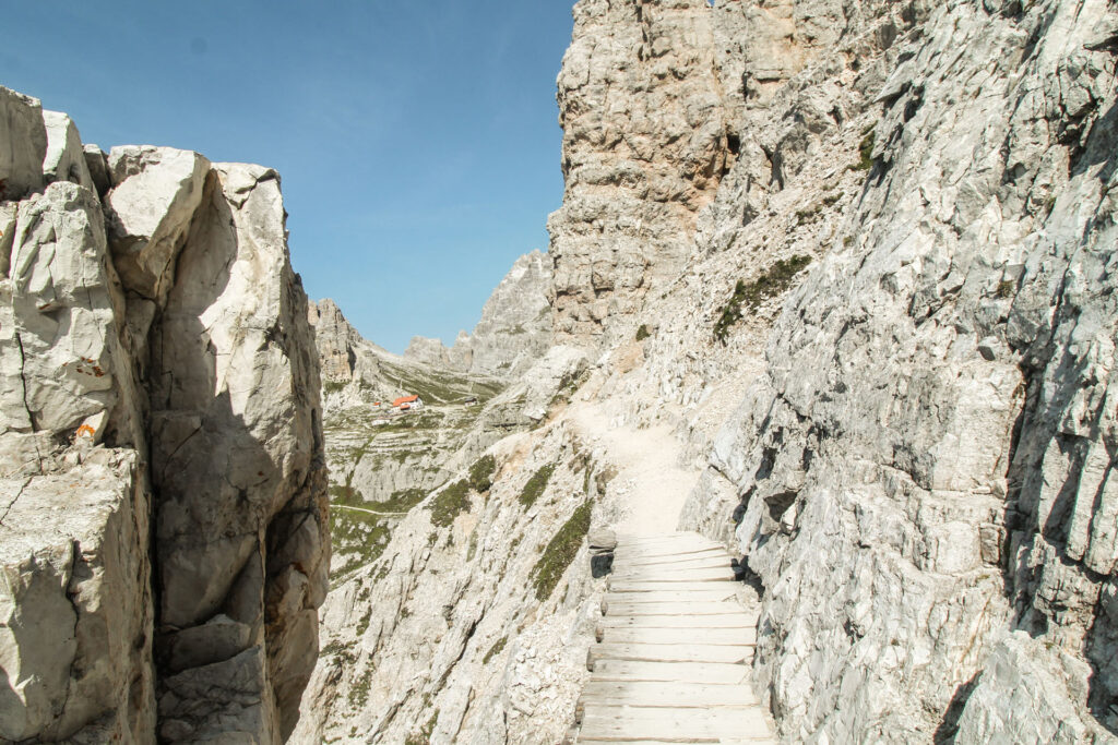
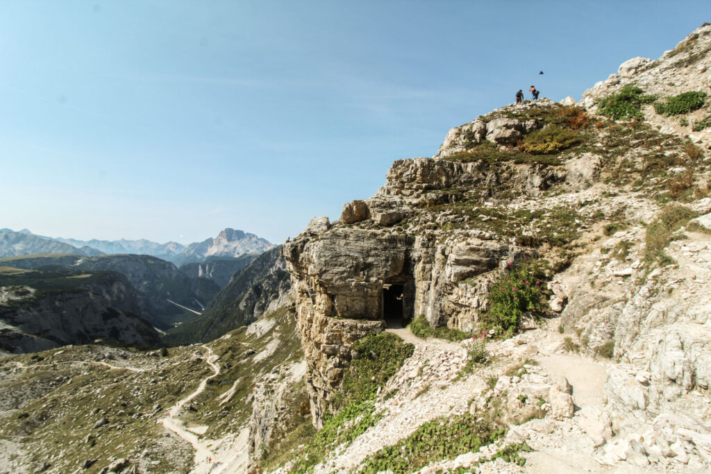
While hiking into the direction of the Rifugio Antonio Locatelli (Dreizinnenhütte), you will have again and again stunning views of the Tre Cime peaks. If you decide to hike the upper trail, this will be the most challenging and adventurous part of the whole hike – but still manageable.
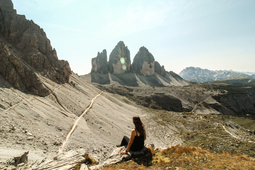
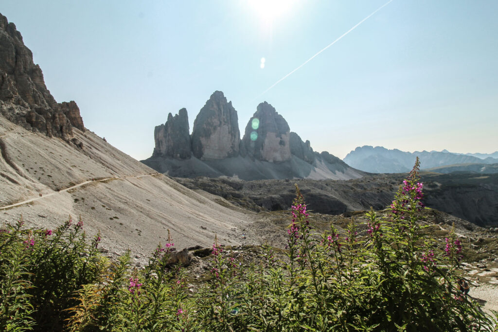
The views from the Dreizinnenhütte are just breathtaking. Back then, I haven’t been to the Yosemite National Park, yet, but this is how I would imagine it to be.
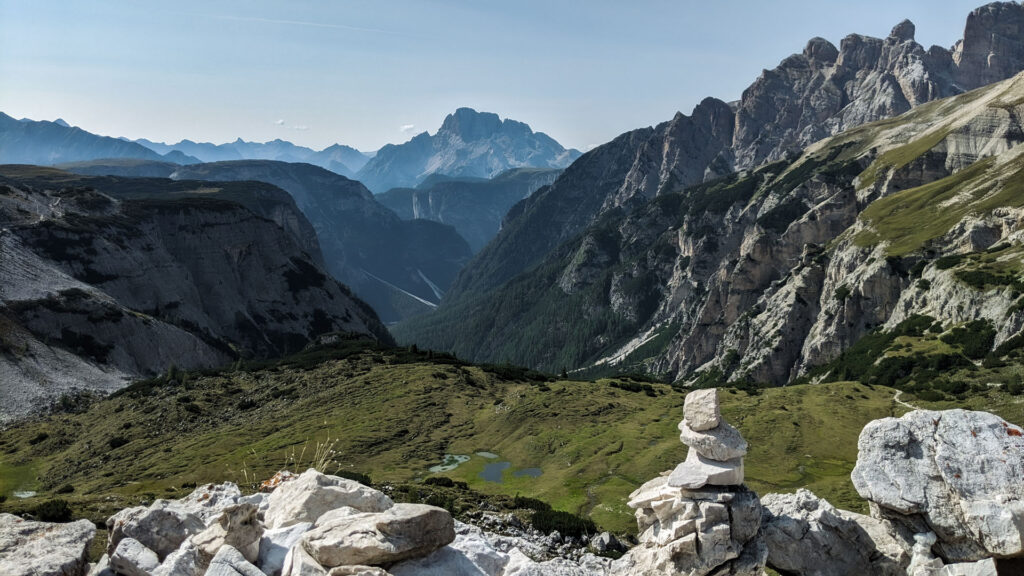
When stopping by at the Dreizinnenhütte, you need to take in the beauty of the landscape and enjoy a good piece of “Linzertorte” – It was the best one I’ve ever had. Honestly, you can’t miss out on it!
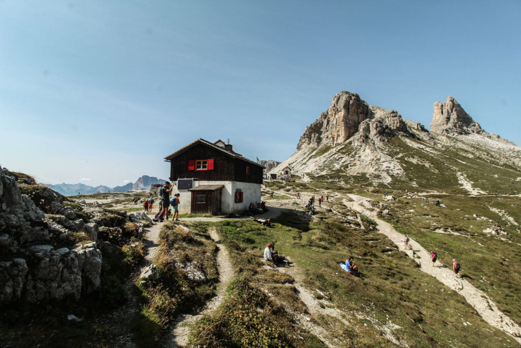
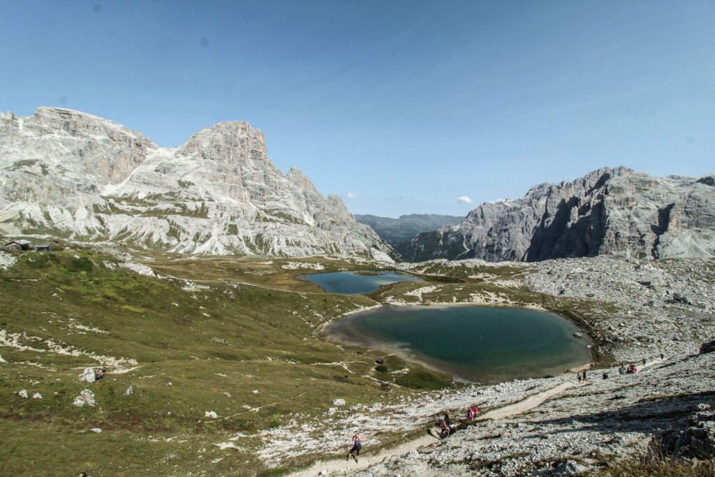
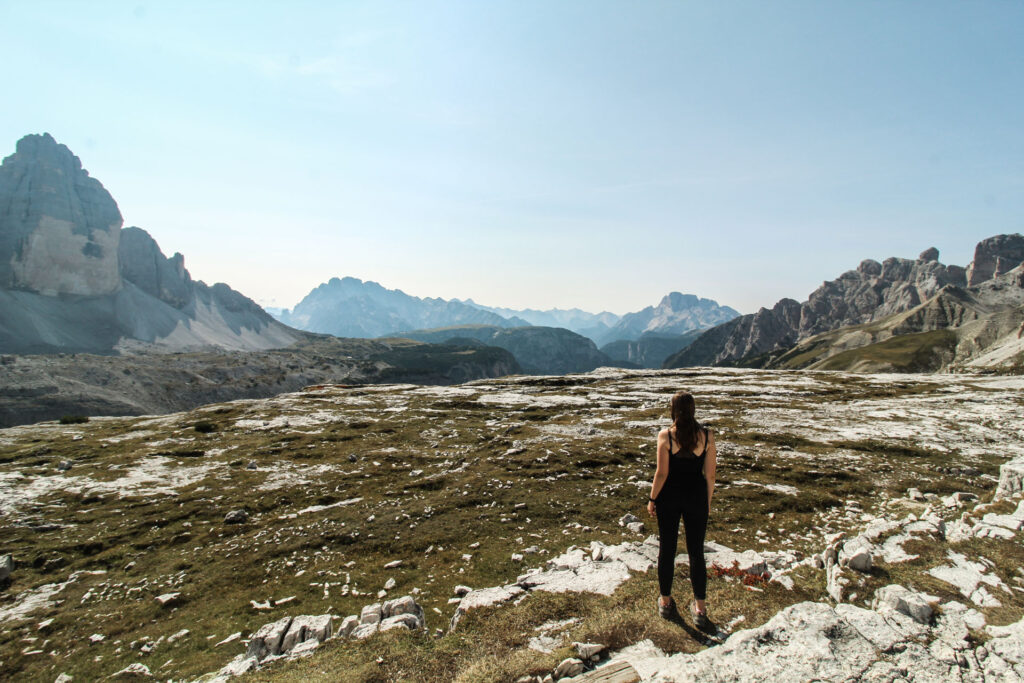

After a small break we continued the hike and – yes, you guessed right – the trail, which can be seen in the photo above is the trail, which leads back to the parking lot. This means about 380 meters down and up again until you finally reach the refugio “Langalm”.
This part of the hike has the highest elevation to climb, but it is “short and sweet” and the views along the circuit totally make up for the exhausting hike.
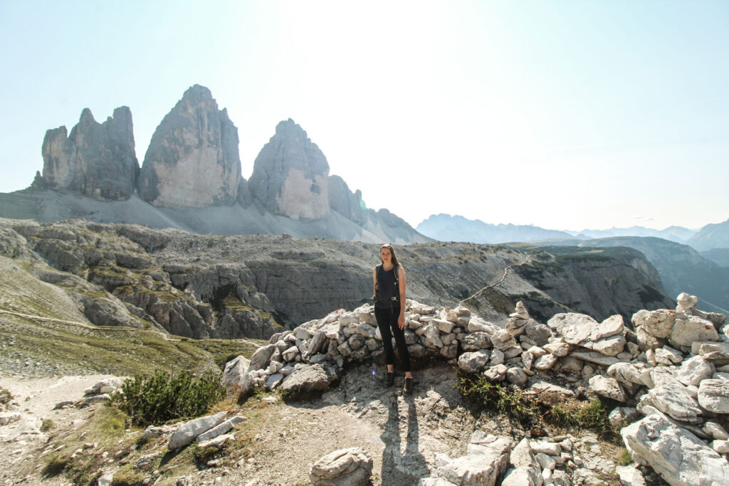
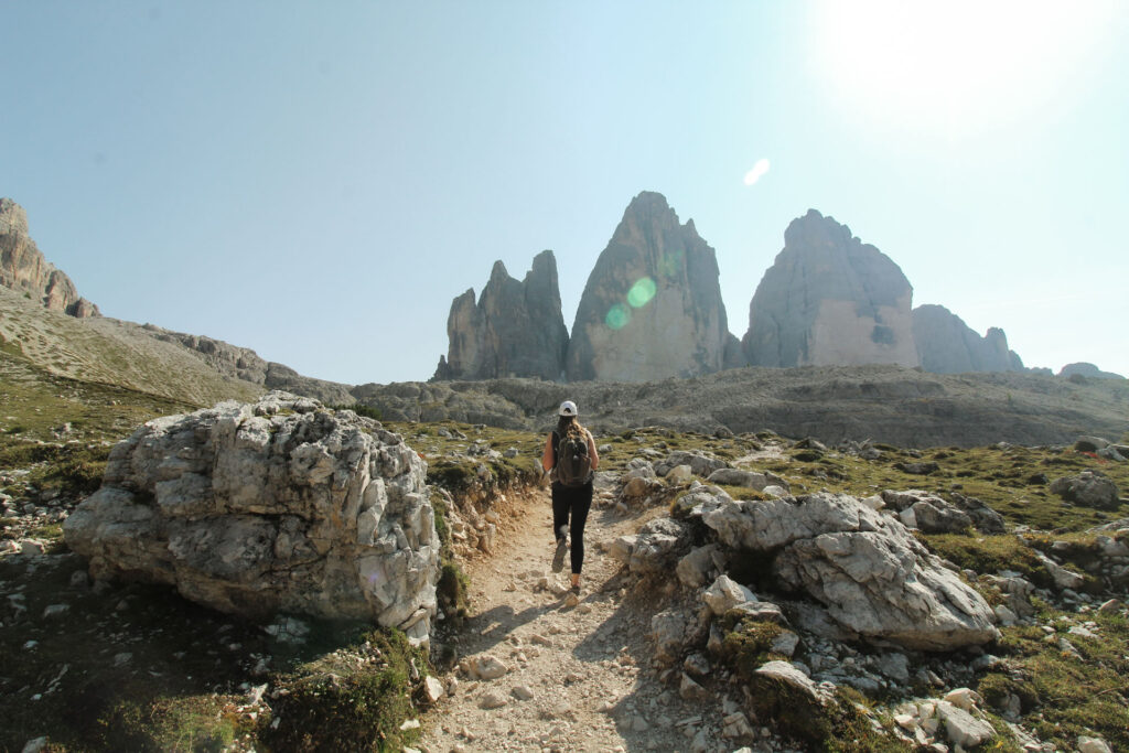
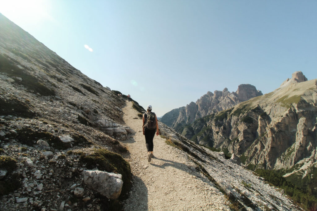
Made it to the bottom of the valley. Only the way up is ahead. Even though, the Tre Cime are “covered” by the stone wall in the front, it still offers an impressive photo motive as it appears like a crown to the mountains below.
The trails are not very steep and even though it is exhausting, it is manageable.
After 2,5 km of downhill and uphill hike, you will arrive at the Langalm. You will be rewarded with another stunning perspective of the Tre Cime with a small lake – the Sorgenti Fiume Rienza – in front of it.
Enjoy some more stunning views of the valleys below, before continuing back to the starting point at the Refugio Auronzo.
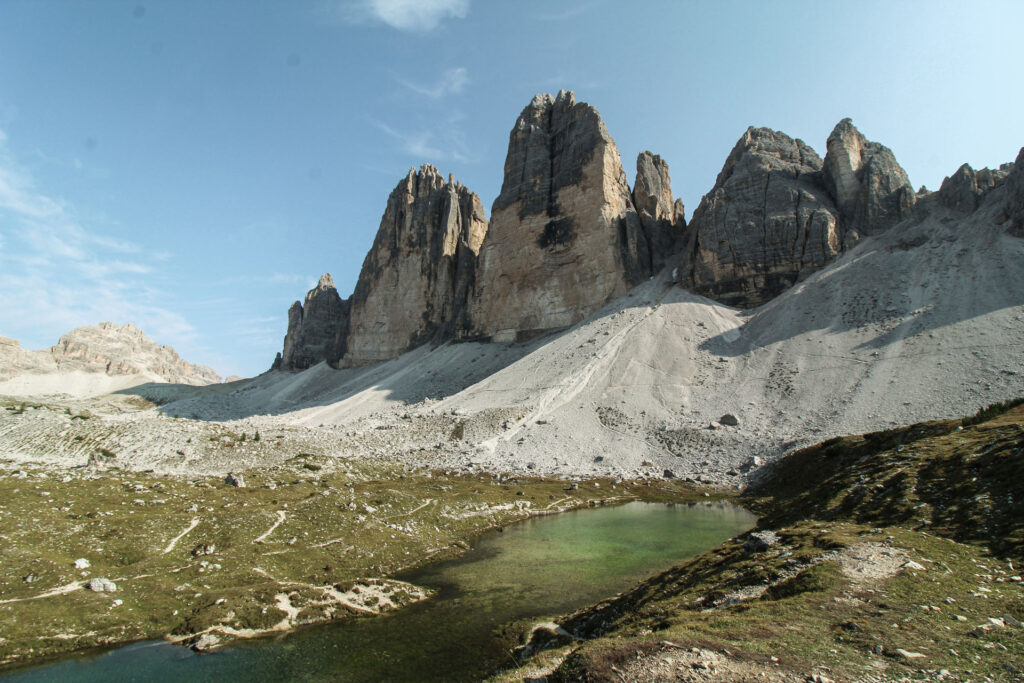

Even though it is an absolute magnet for tourists, you can still find “quiet places” on this hike and enjoy the views. You can avoid some of the crowds by taking the upper, more advanced trail to the Dreizinnenhütte.
If you have some energy left, you can easily combine the Tre Cime Hike with one of the following stops:
- Visit to Lago di Misurina
- Visit to Lago di Dobbiaco
- Visit to Lago di Braies
You do not want to spend money and time on visiting the Tre Cime? Find out here, how to see them from the surrounding valleys below.